Categories
Uncategorized

Investigating Chester: Walking the Roman Landscape, 30 August 2020

When I asked people for ideas to help explore Chester, Sarah May @Sarah_May1 mentioned walking and Romans… after a bit of thinking, I decided to put together a walk covering key parts of Chester’s Roman landscape. You can see my route here.

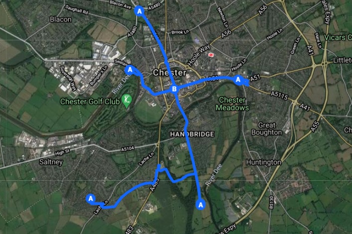
I won’t fully explain every point on the route, partly so I can do that another time and partly because this was really about the walking rather than visiting certain sites. However, in terms of the Roman landscape I walked from near the location of some farmsteads in Lache across to the large settlement at Heronbridge, my proper start point. From there I walked north on Watling Street through the cemeteries and quarries, across Old Dee Bridge and through the southern canabae into the centre of the fortress. Then I went north, roughly on the line of the Via Decumana, leaving the fortress through the north gate, and walked as far as Bache Brook before turning around and walking south into the fortress again then west along the Via Principalis, through the larger of the canabae, to the site of Chester’s historic water supply. Nearing the end now, I then walked back into the centre of Chester and continued west through the Watergate and out along the River Dee before returning to The Cross to finish.

According to my phone, the walk was about 16 km and it was a great way to get an appreciation of the scale of the Roman landscape. I’ll post a few pictures below with a few short observations.

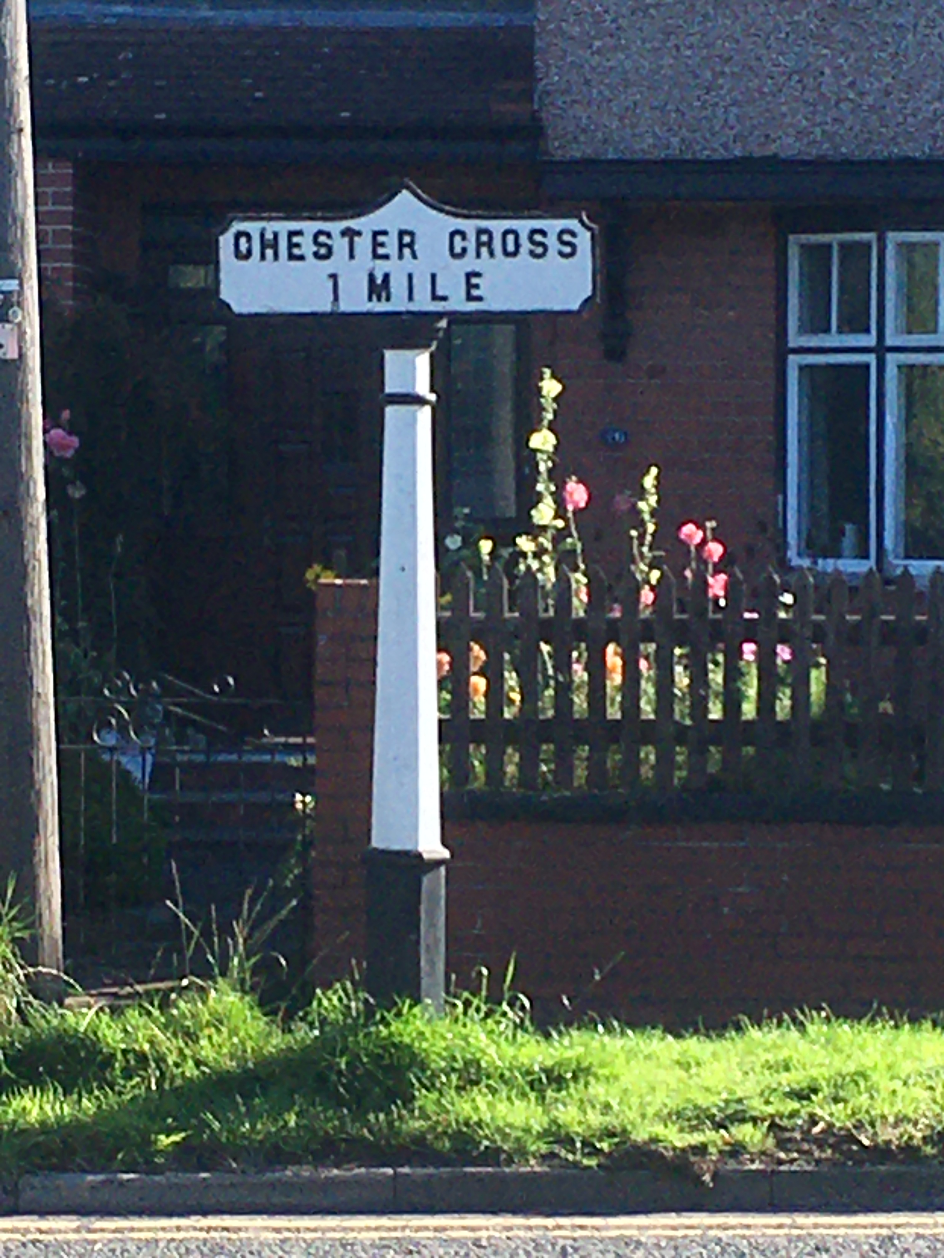
Heronbridge > The Cross

Start point, the settlement at Heronbridge
Along the historic Watling Street, one mile to The Cross

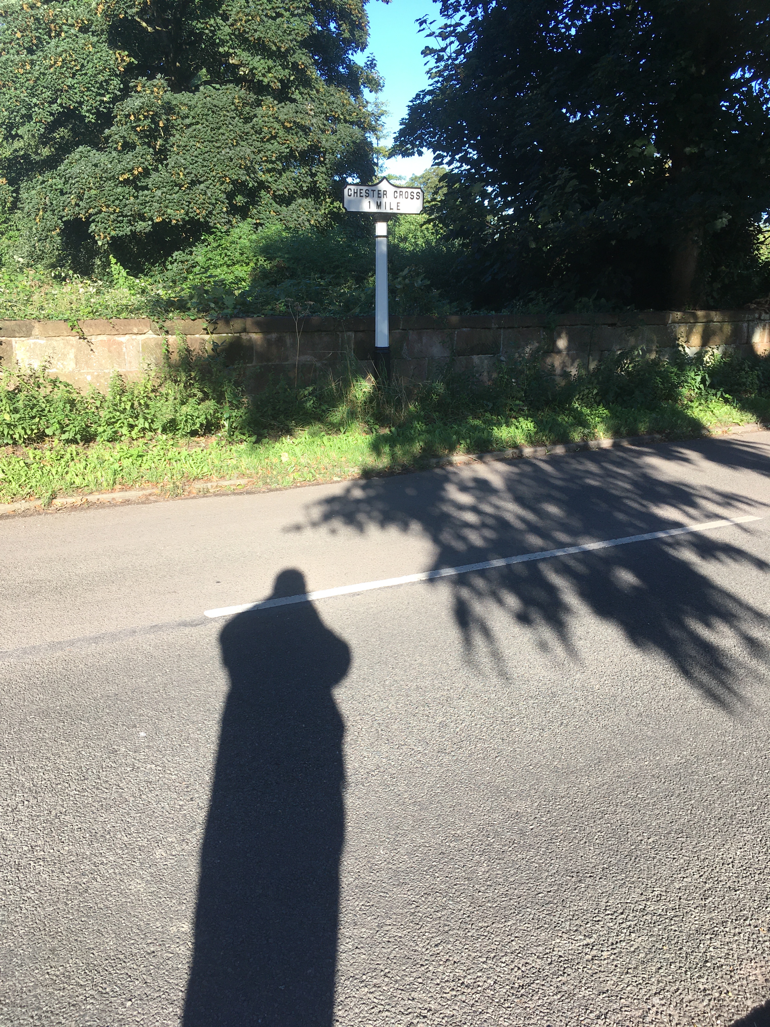
Walking in from the south, it it easy to gain some appreciation of the topography as you drop down towards the Dee then rise again towards the Roman city. It’s not always obvious that Chester is perched on a sandstone outcrop, but you can feel it in your legs if you walk.

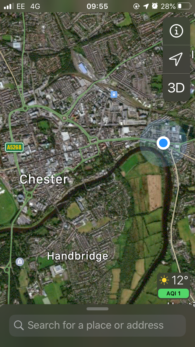
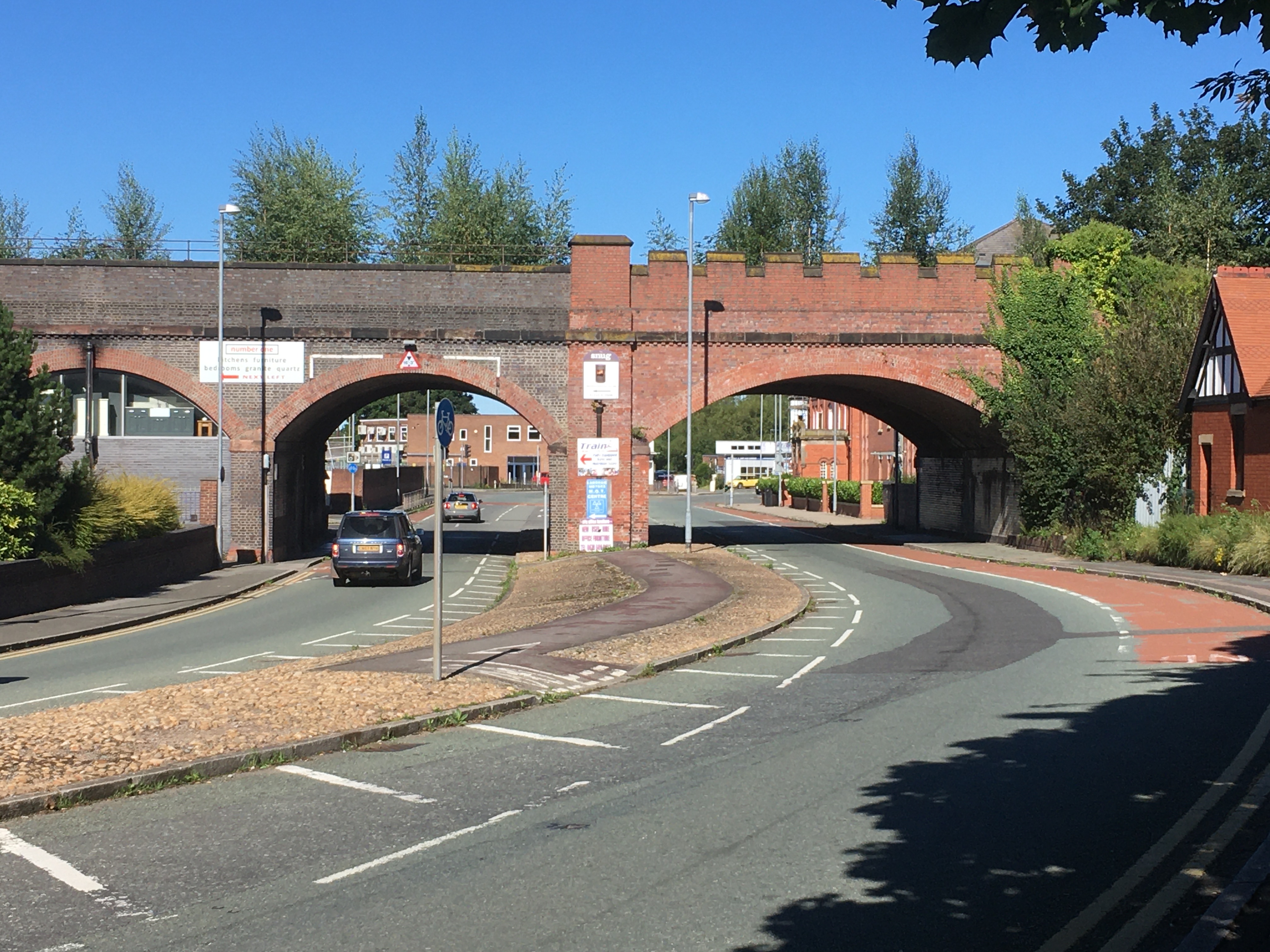
North to Bache Brook and back to The Cross

Bache Brook

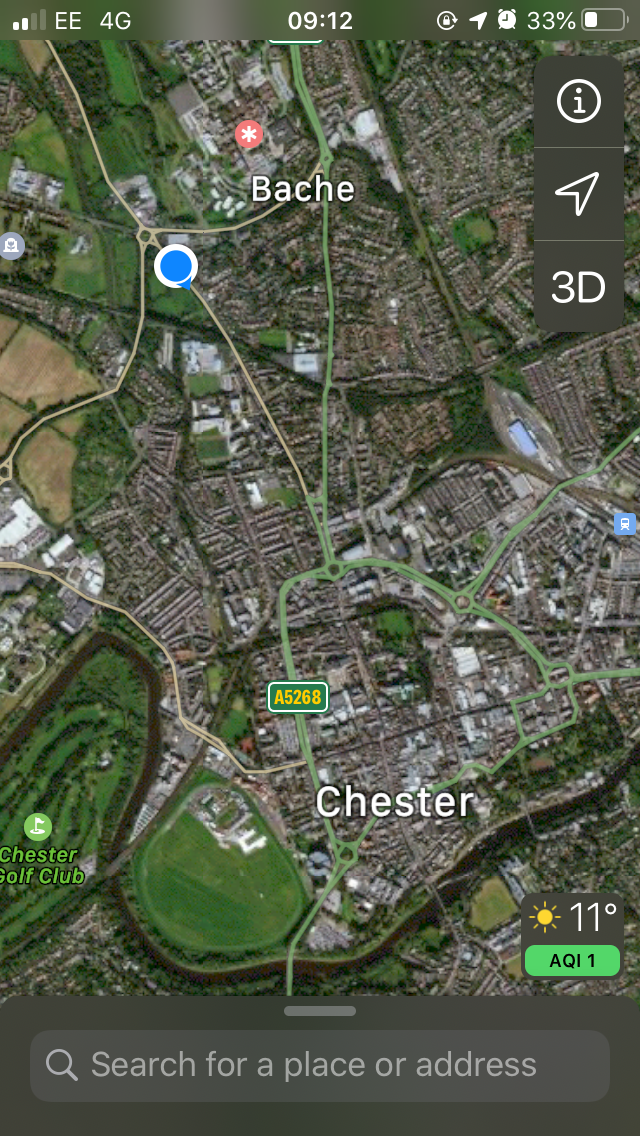
Leaving Chester and dropping down the hill towards Bache Brook, you can really feel the sense of leaving the town, especially as you approach the watery landscape around the brook. The route of the Roman road north of here is not well known.

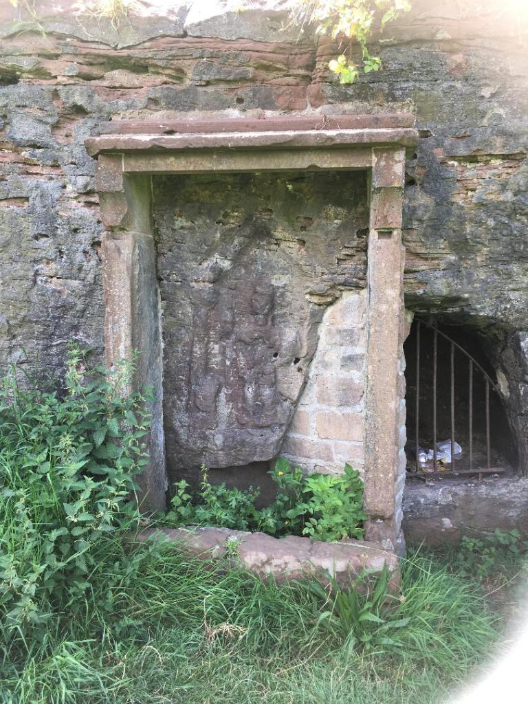
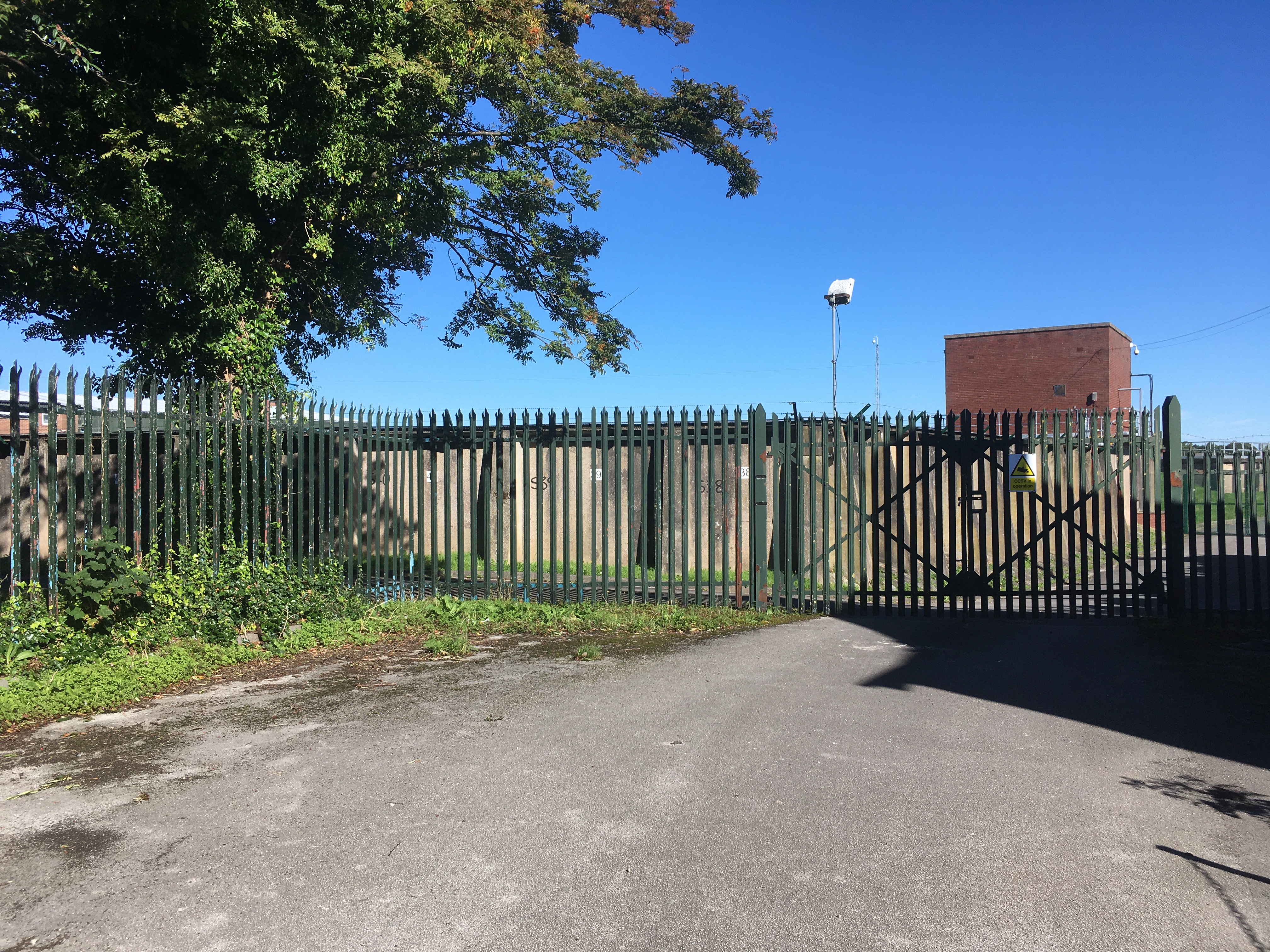
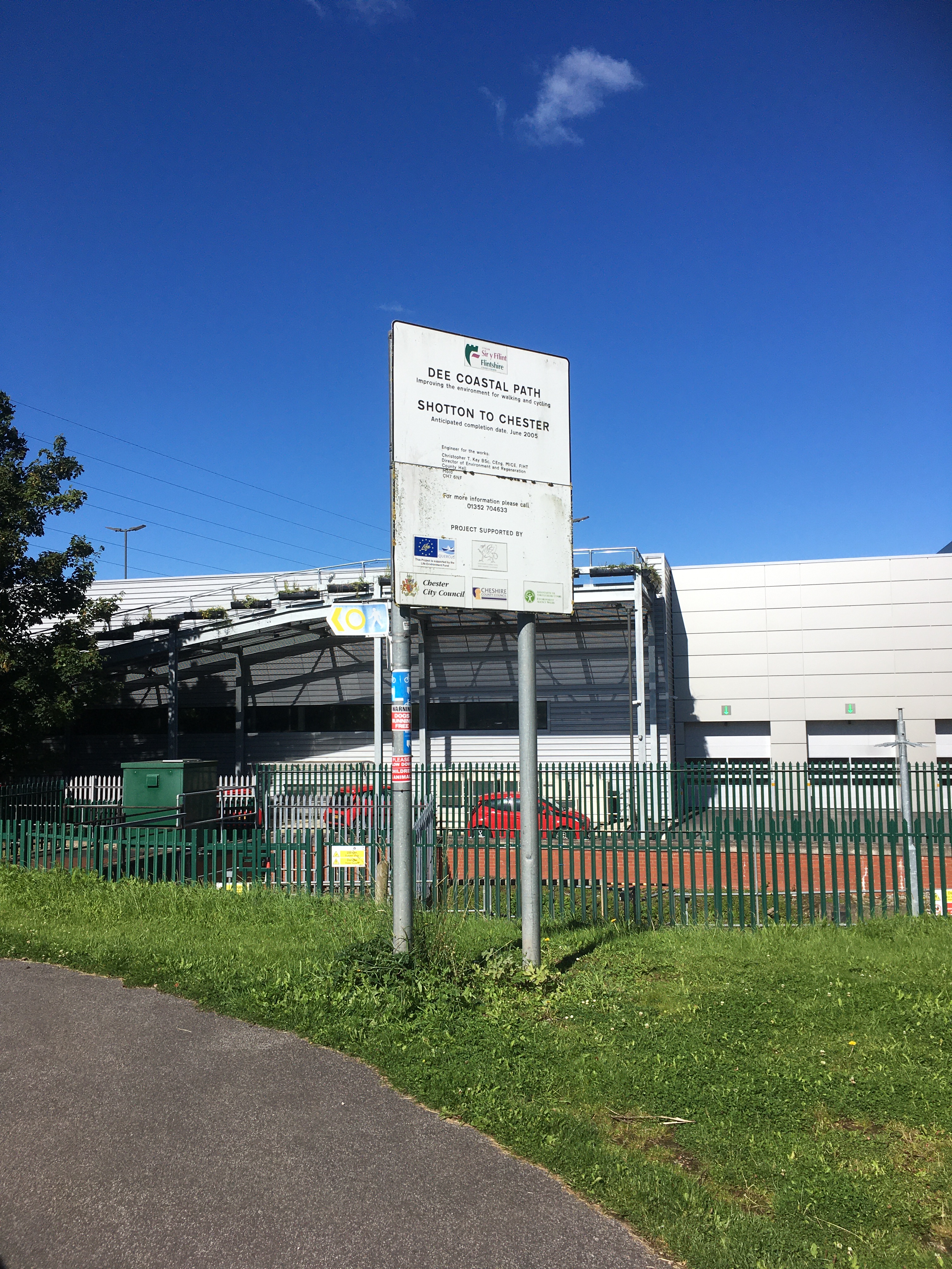
East to the water supply and back to The Cross

Dee Valley Water reservoir near to the Roman and later water supply.

West along the River Dee and back to The Cross

View along the Dee
Start of the Coastal Path, one for another day
Railway viaduct on New Crane Street, rather reminiscent of the old Roman east gate (below)

The ‘watery-ness’ of this part of the landscape is evident, not just in the river and the nearby Water Tower, but in the canal, locks, and building names like Old Port Spa and Waterside Court.

That’s it! As I said at the top, this was about the walking, not the locations along the way, all of which I’m sure I’ll visit again.

Help me walk other period landscapes! Let me know if you have any ideas. Walking the Civil War defences and siegeworks is probably next for me.

Advertisement
Categories
Uncategorized

Investigating Chester: Visiting Minerva 08 August 2020

On our first Saturday back in Chester we decided to follow the advice of @sylviamdunn37 who responded to my call for ideas with a suggestion that we should:

Go over the Handbridge and find Minerva in Edgar’s Field.— sylvia dunn💚 (@sylviamdunn37) August 1, 2020

Despite being from near Chester and pretty heavily into history and archaeology growing up, I had no idea this was here, so had to drag Saini and Elvi along for a look. We walked from The Cross in the centre of town and, in terms of the Roman city, went south from the principia, leaving the historic fortress to cross the rather more recent Grosvenor Street into Lower Bridge Street. A bit less than 2000 years ago this part of Chester was an extra-mural area, though possible with its own wall, containing a large ‘coaching inn’ and other buildings. Basically, it was where you would stay when you arrived in Chester if you didn’t fancy the probably more mixed, informality of what is now Foregate Street. The area is now inside the later medieval wall line, so at the bottom of Lower Bridge Street we left the post-Roman walled City through the Georgian Bridgegate to cross the Old Dee Bridge into Handbridge.

Lower Bridge Street looking through Bridgegate to Old Dee Bridge and Handbridge beyond

On your right as you come from Chester is Edgar’s Field, a small park whose entrance is dominated by a busy playground and the open balcony of The Ship Inn, both full of enthusiastic participants.

Edgar’s Field signage

Beyond is Minerva, a shrine to the Roman goddess of, among other things, wisdom. The site is a former sandstone quarry and I find myself wondering whether building a shrine to the goddess of ‘defensive war’ in a quarry extracting stone for a legionary fortress was an attempt to build divine protection into the city walls. The popular interpretation is that it was carved by workers, but I can easily imagine the shrine holding more significance for those who commissioned the work.

Shrine to Minerva in the former sandstone quarry

Either way, it felt like we should leave an offering for Minerva to help ease our move into the life of the city. We left a 50p coin that we found on the floor on our way there and, one of Minerva’s symbols being an olive tree, poured a libation of olive oil.

Minerva, Edgar’s Field, Chester